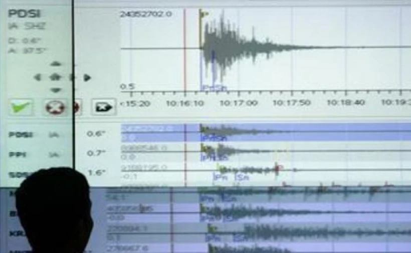
On the morning of March 18, an earthquake with a magnitude of 5.6 occurred in North Sumatra, Indonesia.
The focal depth of the earthquake was 86 kilometres, according to the German Research Centre for Geosciences (GFZ).
A 5.5-magnitude earthquake that struck the area about 50 kilometres northeast of Sibolga, North Sumatra, was reported by the United States Geological Survey (USGS).
On March 17, at 22:23 GMT, the tremor was detected 52 kilometres below the surface. According to preliminary data, the epicentre was located at 99.18 degrees east longitude and 1.96 degrees north latitude.
No immediate reports of damage or casualties have surfaced.